Total distance driven (includes in-city driving): 36, 653.6 kms (22, 725.2 miles)
Average gas consumption: 23.3 L per 100 KM

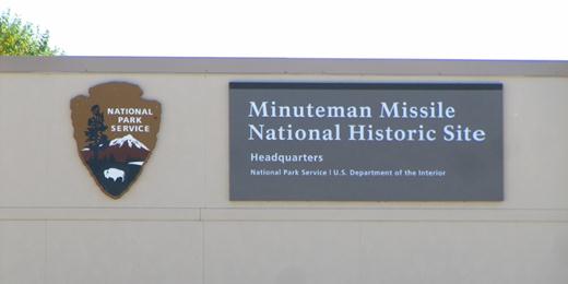
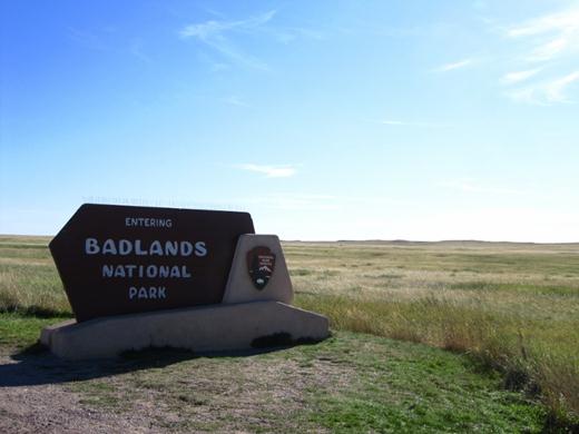
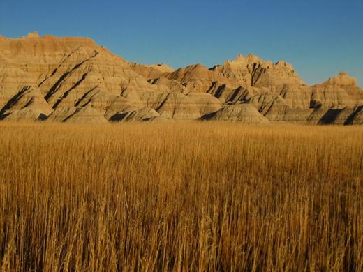
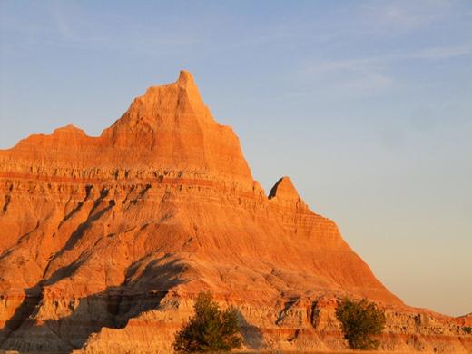
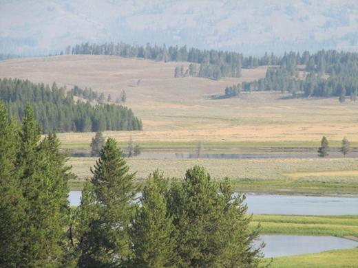
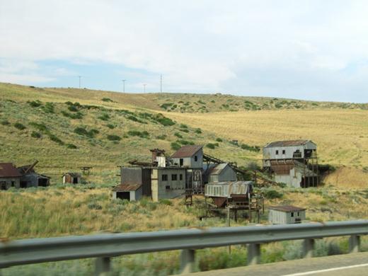
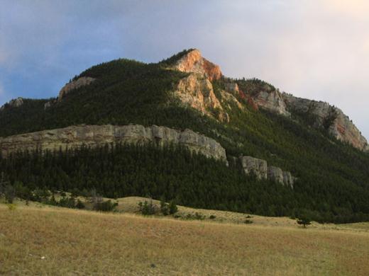
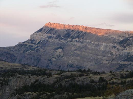
Unexpectedly as we headed out of Badlands National Park we came across this sign… Minuteman Missile National Historic Site.

…AND FOUND A NUCLEAR MISSLE SILO BURIED IN A WHEAT FIELD!!! Ok ok…maybe it’s not “hot” but it’s still pretty shocking.

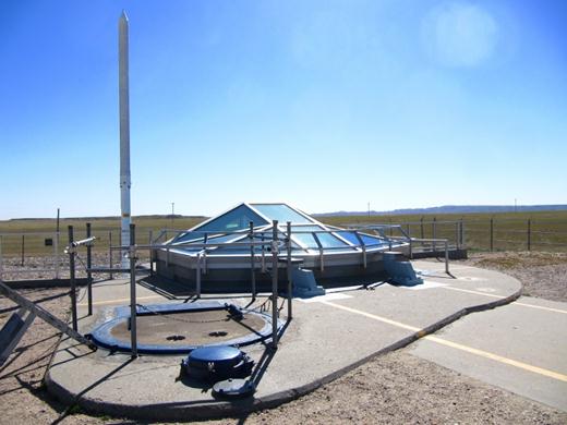
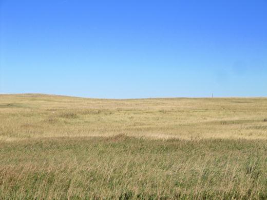
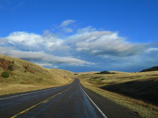
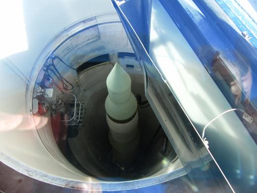
The views from the highway are deceiving! Rolling prairies and long vistas hide the Delta-09 – Missile Launch Facility that sits a half mile off Interstate 90. During the Cold War this facility was just one of 1,000 ready for action. A missile launched from South Dakota could fly 5,170 miles (8,320 kms) to Russia in just 30 minutes. Thank goodness the Cold War is over!

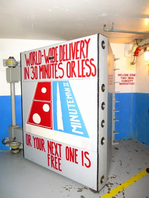
We took a tour of the Delta-01 Nuclear Missile Launch Control Facility. The park Ranger leading the tour actually worked as a missile launch operator when it was operational in the 1960s.

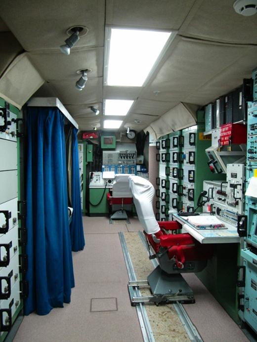
Here two men were buried 200 feet underground in a hardened bunker specially designed to survive a nuclear strike. The veteran giving the tour explained that they had the responsibility of launching, upon orders, 50 nuclear missiles that would effectively “end the world”.

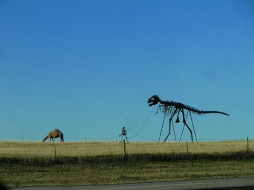
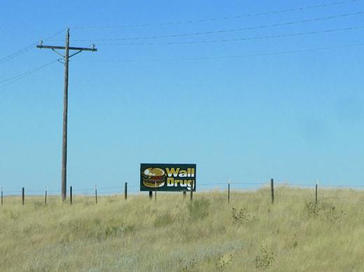
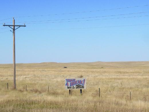
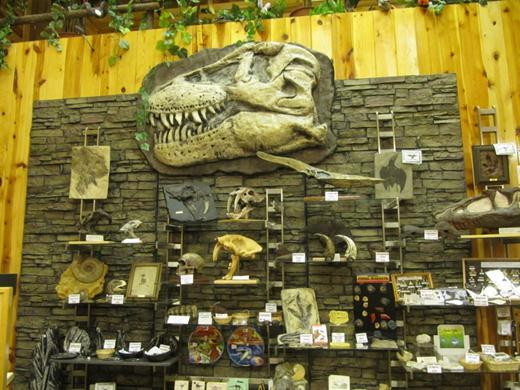
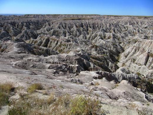
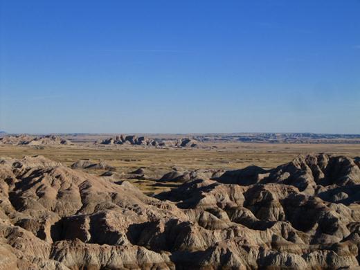
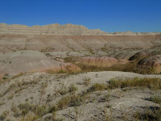
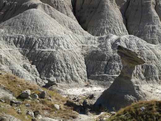
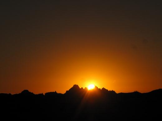
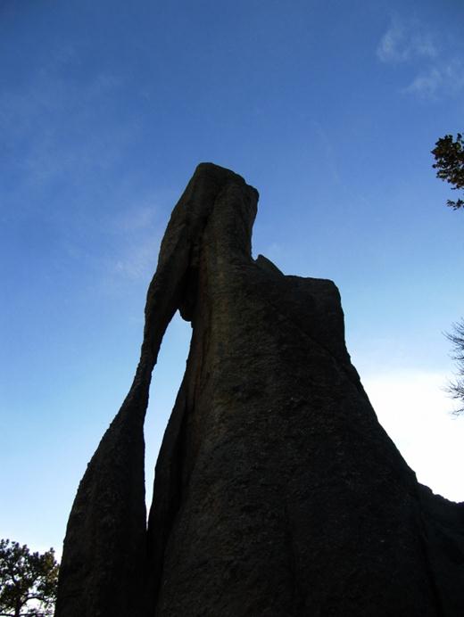
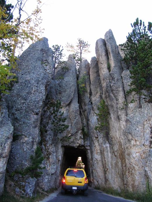
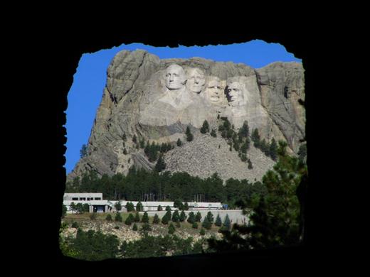
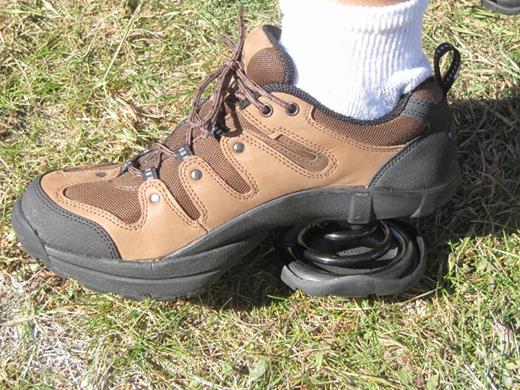
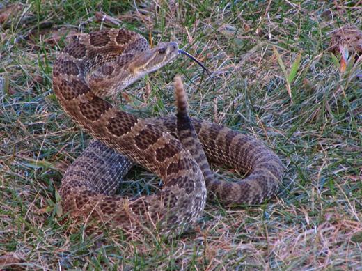
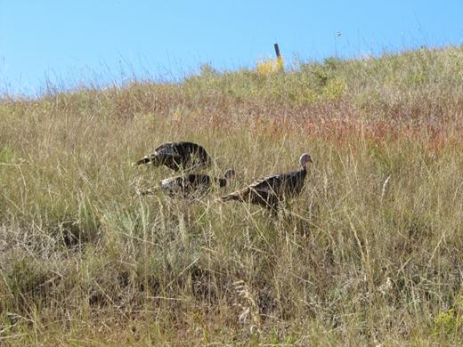
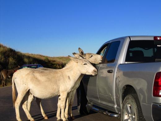
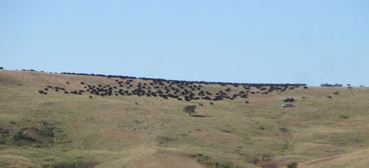
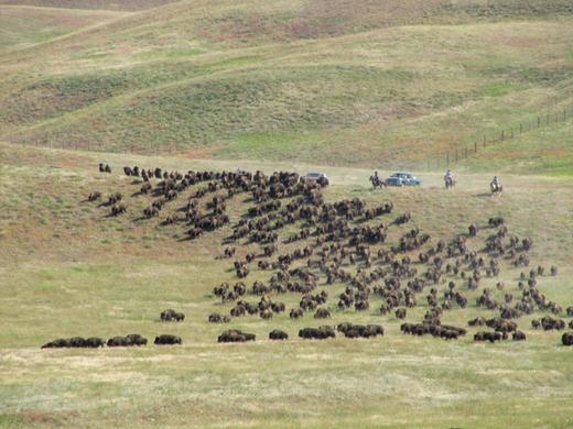
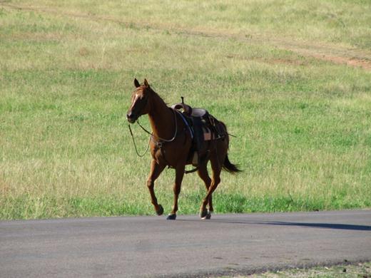
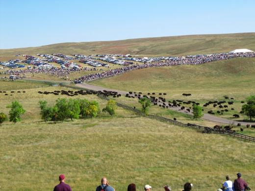
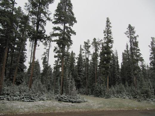
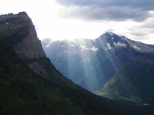
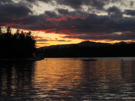
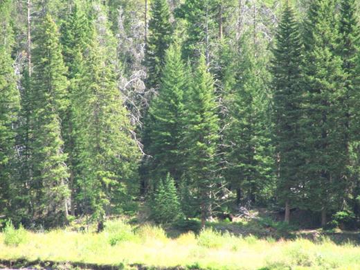
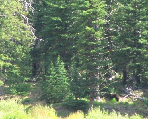
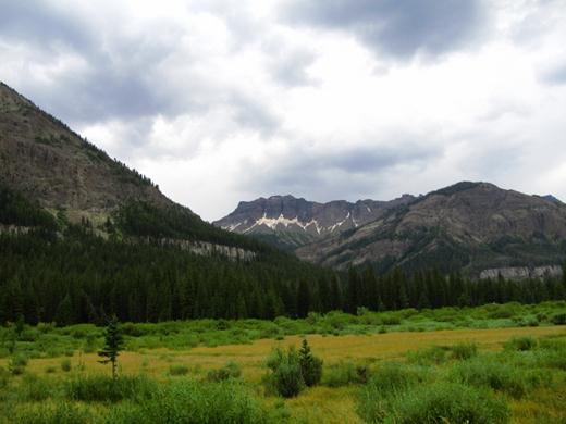
As we officially left the west we passed by this very weird scene that reminded us that the unexpected makes the adventure.

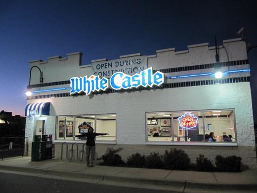
As we crossed into Minnesota and headed North East we were surprised to see a White Castle restaurant! Ever since watching Harold & Kumar Go To White Castle in 2004 we were on the lookout for a restaurant. We definitely wanted to try a burger.

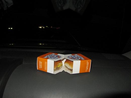
Guess what? White Castle burgers are actually sliders – mini buns, tiny meat patties. Didn’t know that.

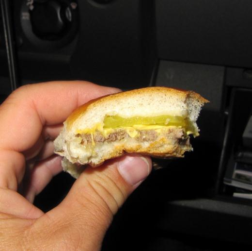
The pickle is about the same thickness as the meat. Glad we tried them but they really have nothing on In N’ Out Burgers.

The next day we continued our drive up the North Shore of Lake Superior through a number of Minnesota cities and towns. Duluth was an interesting place – neat buildings and lots of bridges.

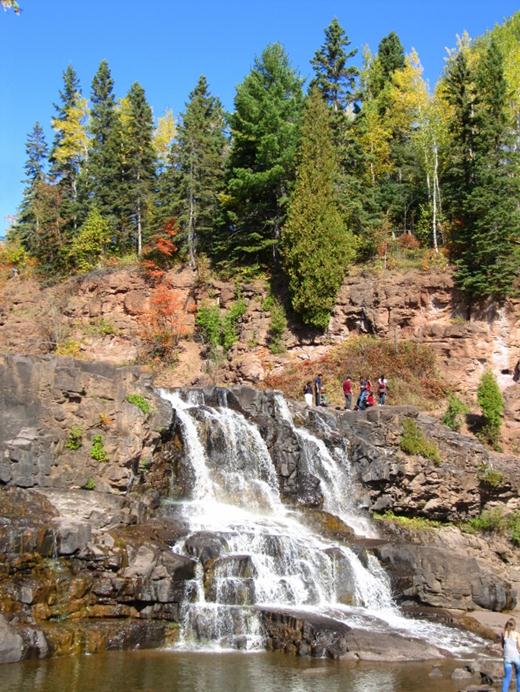
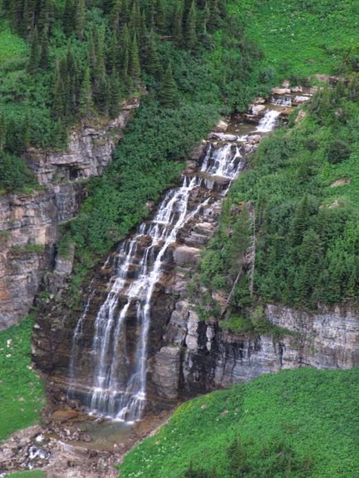
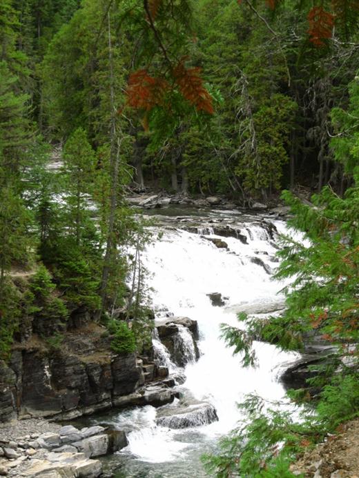
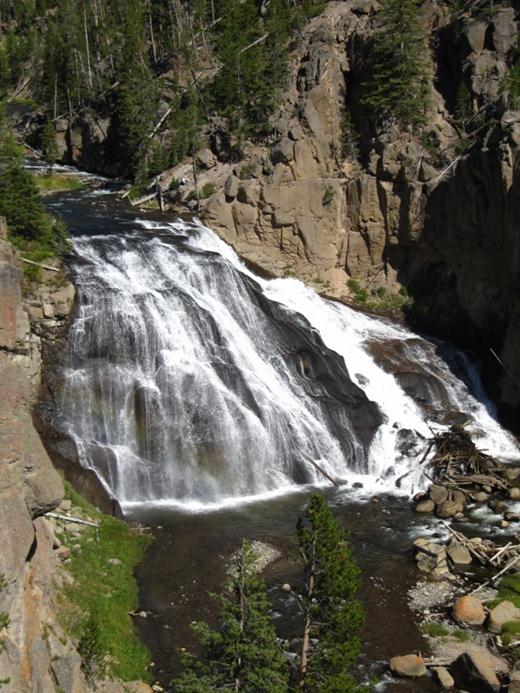
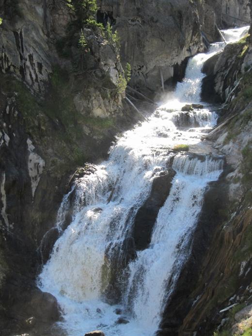
Gooseberry River had a few interesting water falls…

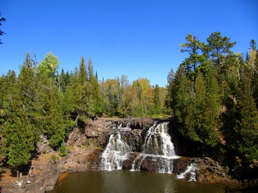
…just a short hike away from the parking area and beautiful!

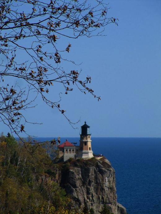
Loved the Split Rock lighthouse!

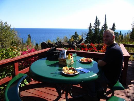
In Beaver Bay, MN we discovered the best breakfast buffet ever at a little place called Northern Lights Restaurant. We found a table on the back patio overlooking the gorgeous gardens and Lake Superior. The extra cheesy hashbrowns and the tomato basil soup were absolutely delicious. The chef wouldn’t give up his recipe so if you discover them please share!

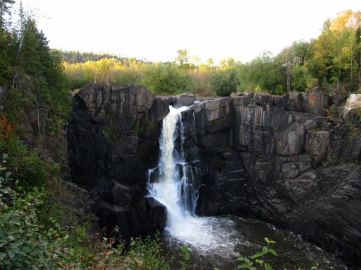
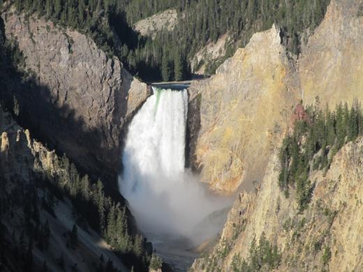
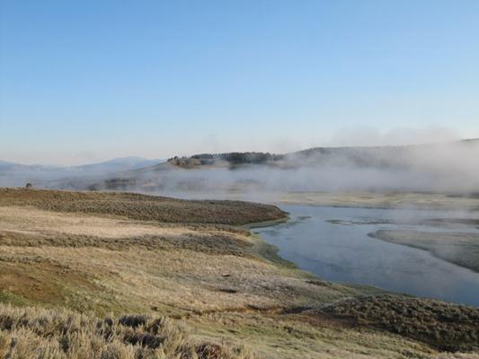
Our last stop in Minnesota was Pigeon River’s High Falls. At 120 feet these falls are the highest in the state. The river forms the border between Minnesota, USA and Ontario, Canada. So that means everything on the right side of this picture is in Canada!

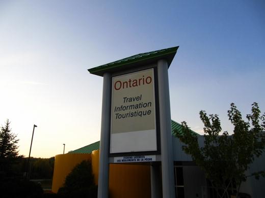
Finally reached Ontario! Just love seeing English and French on the signs. Ontario does road signs very well. Unfortunately gas prices leave something to be desired L.

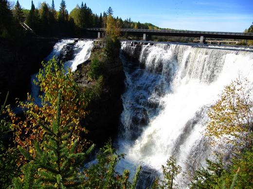
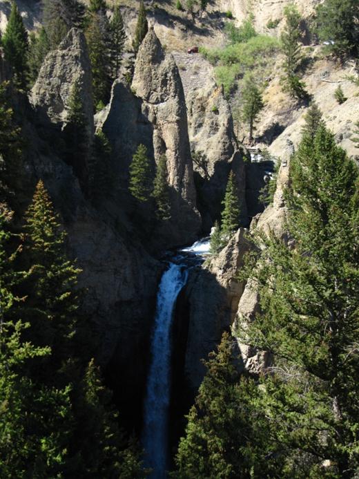
Our first stop was Kakebeka Falls Provincial Park – near Thunder Bay. At 130 feet (40 metres) the falls are 50 feet shy of Niagara Falls’ height.

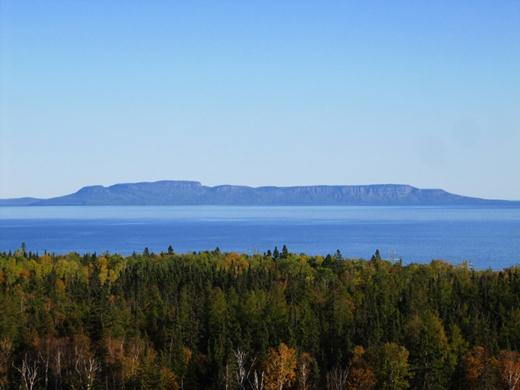
At one of the road side stops near Thunder Bay we tried to find Sleeping Giant – a peninsula that resembles a … well, you know…

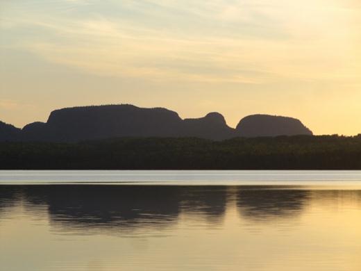
The face is much easier to make out by driving on the Peninsula and checking it out from the other side. Since Sleeping Giant Provincial Park is nearby we decided to camp there. At $46 per night we had a waterfront electrical site. That’s right $46 per night! Yikes…that’s close to what we paid in Mailbu, California for an ocean view site.

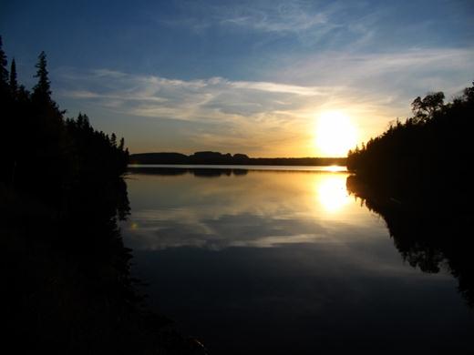
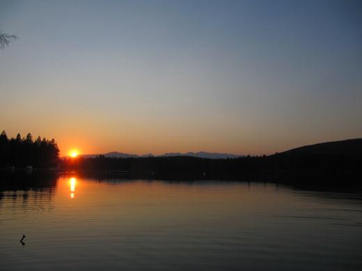
Got to admit though, the view at sunset is spectacular! We liked it so much we stayed a few days.

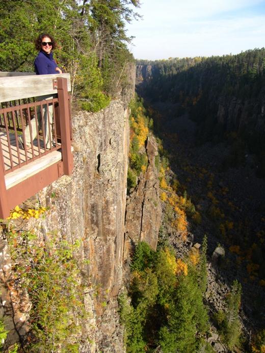
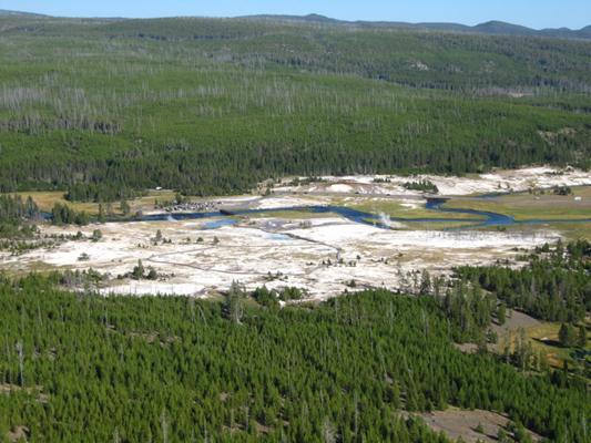
Ouimet Canyon was amazing to see as well. This gorge is 330 feet (100 metres) deep and 490 feet (150 metres) wide. Sunlight reaches the canyon floor for a short time each day making it possible for snow to stay all summer and artic-alpine plants to thrive.

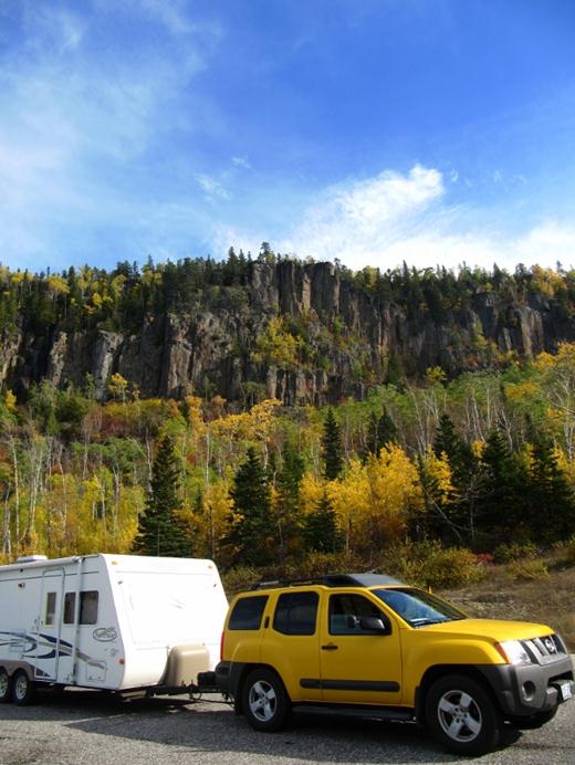
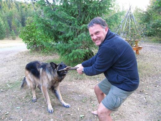
Chuck really fits in well with all the fall colors!

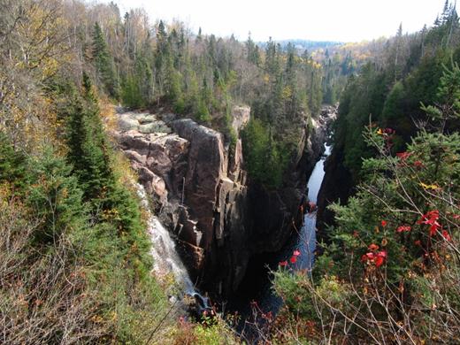
Our next stop was Aguasabon River Gorge with its 98 ft (30 metre) water fall. Gorgeous!

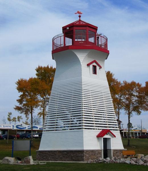
Aguasabon River Gorge is near Terrace Bay – where this landlocked lighthouse seems out of place. It’s actually a viewing platform.

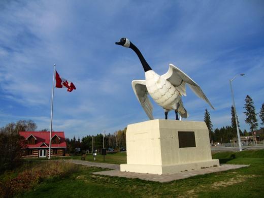
Wawa’s 28 foot (8.5 metre) goose was a must see as well.

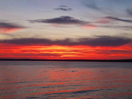
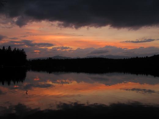
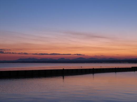
Loved the sunset over Batchawana Bay!

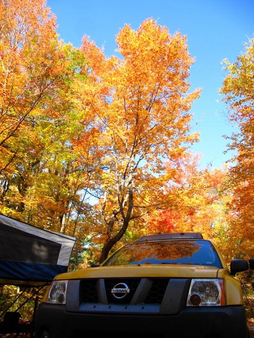
The fall colors near Parry Sound were absolutely gorgeous. And for the first time since March we actually popped out Wendy’s front bed.
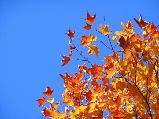
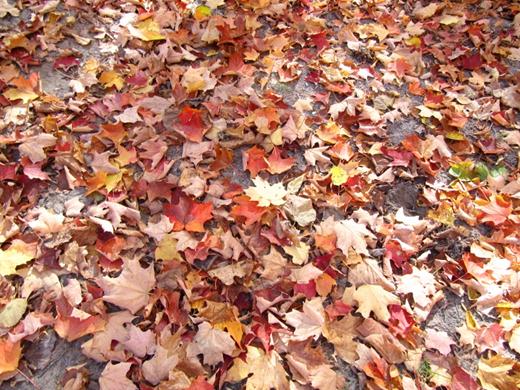
Fall is beautiful!

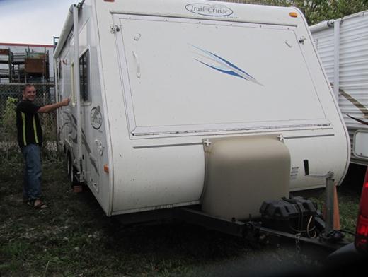
On October 18th we unloaded Wendy and packed her away for the winter. It was tough saying good-bye…but we’ll see her again!

So, we’re home! Since arriving we started making our way through 7.5 months of mail, planned and hosted a baby shower, unpacked and yes, started a job hunt. Please drop us a line for any interesting job prospects you come across.

Back to Top.
Back to Previous Post.

Total distance driven (includes in-city driving): 32, 998.6 kms (20, 459 miles)
Average gas consumption: 18.8 L per 100 KM

From Custer State Park in South Dakota we continued East towards Badlands National Park.

Suddenly we started seeing these mini billboards by the highway.

Every half mile or so another sign appeared. What is Wall Drug anyway…and why would anyone want to visit a drug store?

The sign signs kept getting bigger and more ornate. They started making a big deal about offering free ice water and 5 cent coffee….ooookkkkk?!

Ok ok…now we have to pull over just to see what is so special about a drug store in the middle of nowhere.

We soon found out it’s not just a drug store…

…..it’s the Holy Grail of everything touristy.

From singing animatronic cowboys…

…to cowboy trinkets….

…to cowboy art and guns…

…and of course dinosaurs….not just bones either…

…live dinosaurs too!!! Aaahhhh!

They even have cowboy chapel squeezed in-between….

…deer heads, totem poles and the saddle shop.

In the end we lassoed this ferocious jack-a-lope…

and headed south to Badlands National Park.

It’s hard to believe that this flat land turns into…

…this!

Absolutely beautiful!

This colourful area reminded us of the Painted Desert.

This one reminded us of balancing rock.

The formations looked beautiful in the afternoon sun…

…but they really lit up as the sun started to set.

We set up camp at one of the campgrounds in Badlands National Park. For $28 per night we had electricity and the most spectacular sunset around.

As we headed out of the park the next day we saw a Big Horn Sheep!

We even saw a few prairie dog colonies.

After enjoying the Badlands for a few more hours we hit the road with Chuck and Wendy.

Next up – Minuteman Missiles, Minnesota and finally we reach home – Ontario, Canada!

Back to Top.
Back to Previous Post.
Move forward to the Next Post.

Custer State Park was fantastic!

In addition to the Needles Highway (there’s the eye of the needle in the picture above)…

…with its tight tunnels…

…and fantastic views of Mount Rushmore…

…there was also a huge event going on! The annual Buffalo Round-Up & Arts Festival happened to be scheduled the same weekend we visited Custer State Park. There were tons of exhibitors on hand…

Jason tried the spring heel shoe. Quite a different walking experience!

There was even a snake expert on hand! In the “wild west” fashion he plopped this wild rattlesnake down on the grass in front of us. The expert then assured us that as long as he keeps its attention all is good. We sat 10 feet from the snake! The snake expert then proceeded to tell us that while he had a rattlesnake bite on his leg the snakes usually catch his jeans …usually! And, in keeping with US healthcare it cost him $4,000 a vial for each of the 4 vials of antivenom needed to cure him from that one bite…$4,000 a piece!!

Of course there was tons of wildlife at Custer State Park. At first we thought this was a hummingbird, but it’s actually a hummingbird moth named White-Lined Sphynx Moth.

These three little chipmunks found a treasure trove of nuts by the road so we had to stop for a picture.

Isn’t it close to Thanksgiving?

This blue-eyed dog barked up a storm as we drove through the campground checking out future camp spots.

And this young fellow is just starting to grow his big horns.

After 7 months of searching for Big Horn we finally see these guys in the last park we visit.

Look…deer!

Custer State Park has its own wild Burros. Take the Wildlife Loop Road for a good chance to see them.

Some of them know where food can be found so they just dig in and hope for the best!

But Buffalo (aka Bison) are the main attraction – especially during the Annual Buffalo Round-Up.

About 1,000 Buffalo are herded together…

…and driven towards the corral…

The cowboys rounding up the Buffalo need to be careful – not only are the Buffalo huge (weighing in at up to 2,000 lbs) but their horses might get spooked and force the rider off…just like the horse in the picture above. His rider caught up with him and jumped back on as if nothing had happened. Now that’s courage!

The Round-Up drew about 12,000 visitors. The crowds at the top of the photo are on the North Side. We were on the South Side with just as many people!

We really loved the Black Hills of South Dakota. But we had to hit the road and continue heading home. Next up…Badlands, Minuteman Missiles, Minnesota and finally, back in Ontario, Canada!

Back to Top.
Back to Previous Post.
Move forward to the Next Post.

The Black Hills were supposed to be a minor stop at the tail end of our 7 month trip but it ended up being an amazing place – so we stayed for a while!

We were baffled to find two massive underground caverns in the area. At Wind Cave National Park we spotted this male Pronghorn in the distance.

And the cave tour at Jewel Cave National Monument was amazing! New stalactites are slowly formed by water as it drips and popcorn formations abound.

Here we are, about to descend a few hundred steps.

Although these narrow passages are tight they are nothing compared to our earlier adventures in Carlsbad Caverns, New Mexico!

But the cave’s decorations are definitely worth the visit.

There are some pretty neat examples of a unique formation called ‘boxwork’.

We even saw Bacon! Seriously, that’s what the Ranger called it – Cave Bacon!

Awesome!

While we were in the area we checked out the privately held memorial to Crazy Horse. It’s hard to get a sense of size from a picture but that statue’s head is 87 feet high! It took more than 10 years to complete the face. When it’s finished the statue will show Crazy Horse (that’s the gentleman’s name) and his horse.

And surprise, surprise the Black Hills is also home to Mount Rushmore! It’s really hard to get a sense of size because it is only visible from a great distance. It looked small to us when we first saw it.

Looking at the granite mountain side from different vantage points helps put size into perspective.

Each face is at least 60 feet high. See that nose? That’s 20 feet long! And the mouth is 18 feet wide!

There were many viewing spots but we really loved the viewpoint from this tunnel along the Needles Highway in Custer State Park.

The highway and its tunnels were purposely designed to nicely frame Mount Rushmore!

Next up…Custer State Park – a must see spot in the Black Hills of South Dakota.

Back to Top.
Back to Previous Post.
Move forward to the Next Post.

Total distance driven (includes in-city driving): 32,761.8kms (20,312.3 miles)
Average gas consumption:18.2 L per 100 KM

From Glacier National Park in Montana we headed South East towards the Black Hills of South Dakota.

There’s a lot to see on the way! The scenic route took us through the Lewis & Clark National Forest where a dusting of snow covered the trees. That’s right – snow – in September!

Several people told us that this part of Montana was a boring drive. No way! Long vistas, open roads, and yellow grasses – now that’s just amazing!

We stopped by Little Bighorn Battlefield National Monument on our way.

This is where Custer’s famous last stand occurred. The fields are peppered with white grave markers – each marking where someone fell in battle.

Custer’s marker is the only one with a black background.

In the shadow of this memorial to the battle, Ranger Steve Adelson gave the best ranger talk we ever experienced. He laid out the myths versus reality of Custer’s Last Stand in an objective way.

Next up – Devil’s Tower National Monument – made famous by the movie Close Encounters of the 3rd Kind. From a distance it’s hard to believe that the tower is over 1,000 feet high.

Closer to the ground were tons of Prairie Dogs chirping in code to each other about the nasty human menace driving by!

Ahh, South Dakota – finally arrived!

We headed through Spearfish Canyon to our first destination in the Black Hills of South Dakota…

Deadwood! We just loved the HBO show by the same name so we had to stop by!

The lure of gold attracted tons of prospectors in the 1870s – including Wild Bill Hickok. We just had to stop by Saloon #10 (where Wild Bill was gunned down).

And this is where Wild Bill’s Assassin was captured!

We even gambled at the GEM Saloon!

Next up…more fun in the Black Hills!

Back to Top.
Back to Previous Post.
Move forward to the Next Post.

Glacier National Park’s Going To The Sun Highway has amazing views!

From the valley floor on the West side we drove up…

…past tons of mountains…

…and over Logan’s Pass to reach the East side of the highway.

The valley looked beautiful.

We even spied a few waterfalls as we drove along.

From the highway we saw several of the park’s 30+ glaciers, including Blackfoot and Jackson Glaciers.

There were even a few of these ‘Red Tour’ buses en route. These buses are a nod to the past when Parks offered tours via their own bus service. There are only two parks that still offer this type of tour via the lodges throughout the park – Yellowstone (which has a yellow bus) and Glacier National Park.

We also saw several people eyeing this area.

Jason sneaks a peek through the Ranger’s scope to see what they’re looking at.

Way off in the distance – barely visible to the human eye – is a Grizzly bear! Look at the speck towards the middle of this picture to get a sense of it.

Two items for our Christmas list…a scope and a better camera.

After driving several hours across the mountains to the east side of the mountain ridge we discovered that the last Ranger-led program – a 10 mile hike to Iceberg Lake – was happening early the next morning on that same side. What a dilemma! It would take several hours to drive back to our camp site just to turn around the next day and drive several hours back in the early morning (the hike left at 8 am!). We decided to look for a hotel in the wilds of the park’s east side where towns are few and far between. After all, it’s an adventure right? We finally came across an old fashioned looking store/gas station/restaurant. After chatting with the proprietor he offers up a “rustic” cabin he has on the back 40. We silently look at each other – we don’t have many other choices. The proprietor’s daughter hunts for the keys and gives us driving directions to the cabin.

We were afraid to look as we rounded the corner but before our eyes was an authentic western homestead cabin in the middle of the Montana wilderness! It had an amazing porch to watch the sunrise.

Inside we found a living room/kitchen (where the fridge is the only modern appliance), a few bedrooms, and lots and lots of authentic drafts to help us feel that cold wind. The cost of this rustic experience was a whopping $79!

The next morning on the way to the hike we spotted a mama Moose and her baby.

Along the hike were several trees with marks like this. Those are Grizzly claw marks!

The first lake looked beautiful! The Ranger said many hikers mistake it for Iceburg Lake.

We spotted this big fellow relaxing by the lake shore.

Aha – the real Iceburg Lake! To give some perspective on size…from the lake to the mountain peak is about 3,000 feet.

Look, the lake has an ice floe! This hike was well worth it.

And the views on the way back along the Going To The Sun Highway were amazing!

It was sad to say good-bye to Lake Five, West Glacier and Glacier National Park – but we had to hit the road.

Next up – South Dakota’s Black Hills!

Back to Top.
Back to Previous Post.
Move forward to the Next Post.

Total distance driven (includes in-city driving): 30,602.9 kms (18,973.8 miles)
Average gas consumption: 16.4 L per 100 KM

Since Glacier National Park’s Going To The Sun Highway came highly recommended – and the highway was closing on September 19th – we decided to get moving!

We said good-bye to the beautiful view from our camp site in Mammoth Campground (in Yellowstone National Park).

As we left the campground we saw some pretty amazing things…

A group of female Elk meandered through the campground…

…and a Pronghorn eyed us from a distance. Pronghorn are the fastest land animal in North America. They can run up to 60 miles (97 km) per hour, and sustain that speed for quite a distance!

We even spotted a Bald Eagle in the nearby National Forest!

On a recommendation we headed towards the town of West Glacier to make it our base for Glacier National Park. Our scenic route took us past Flathead Lake. Beautiful views!

Arriving in West Glacier, the weather was going to be 25C and sunny for several days…for mountain country and the middle of September that was amazing. We happened on a little lakeside place called Lake Five Resort on Lake 5.

When we spotted this waterfront campsite off to the side, we were in heaven. We setup just in time for a sunset swim! Incredibly the water was still warm…ish.J The weather is typically cooler in West Glacier in September – so we really lucked out. Not only was the weather warm, but since it was September we had the whole lake to ourselves!

Well, maybe not entirely to ourselves. This fellow tried the old ‘toss the shoe’ game on Jason in hopes of getting some of the juicy steak we cooked up.

The water was crystal clear and the views from our campsite were fantastic! We took a hiking break and just basked in the sunshine for three days. For the first time on this trip we listened to the radio! We discovered a great station for jazz and swing music – 1940s Radio.

Sunset was especially beautiful!

See!

After several warm days by the Lake Five we made our way into Glacier National Park.

First stop – Lake McDonald for a view of the mountains.

…then a roadside waterfall…

…then a closer view of the mountains as we moved along the Going To The Sun Highway.

More to come…next up – Glacier National Park, Part Two.

Back to Top.
Back to Previous Post.
Move forward to the Next Post.

We saw a ton of wildlife at Yellowstone National Park!

We woke up one day at Bridge Bay RV Campground to find this Bison touring around the RVs!

And we saw these two Bison making their way across the street one morning…

Thankfully they waited until we drove by before crossing the road.

It’s not uncommon to see Bison (aka Buffalo) bring traffic to a grinding halt.

It feels weird to drive this close such a big beast…2,000 pounds!

It’s so much better to watch them resting in the distance…

…or watching a herd slowly move through the valley.

There were lots of trees that look like the picture above. Guess what – Bison are the cause! In the spring they use their horns to strip off the bark exposing sticky sap underneath. Bison then rub their winter fur against the sap and it sticks…creating “fur” trees!

We saw a lot of Elk too. The fellow in this picture has a nice set of antlers – wonder if he picked up any of the ladies…

The female Elk were more abundant than males. We saw the group in the picture above while taking a Ranger-led walk.

We saw this one crossing the river near West Yellowstone.

We also saw a few coyotes. This little fellow ran quickly across the street…

…and we saw this fellow nicely camouflaged…

…while this one stood out a bit more…

Check out this raptor!

Here’s a picture taken in Hayden Valley, where there is a lot of wildlife.

To see the wildlife it’s good to have a pair of binoculars – although a scope is even better. That’s Marianna in the green jacket checking out 4 wolves visible across the valley.

Even Grizzly bears are visible – although they are often far away. The picture above is taken in the Lamar Valley. Check out the brownish looking lump at the base of the tree near the middle.

Here’s a closer look. We took this photo from across the valley!

While we were in the area we checked out the Beartooth Mountains from the Beartooth highway.

The views were fantastic!

We drove by an abandoned mine on the way to the Chief Joseph Scenic Byway – another amazing drive in the area.

Hard to believe these roadside views are not in a National Park!

The uplifts in the distance are amazing.

Check out this canyon!

As we headed out of Yellowstone via the Mammoth Entrance – we caught a glimpse of this old cabin – just had to include it!

We drove out the Roosevelt Gate as we headed north towards Glacier National Park in Montana. Next up, Glacier National Park.

Back to Top.
Back to Previous Post.
Move forward to the Next Post.

Yellowstone’s non-geyser water features are beautiful too.

Yellowstone River flows through the park. It’s the longest undammed river in the lower 48 states. See the yellow rock in the picture above? That’s how the park got its name – yellow stone!

The water carves through the area…

…enabling Yellowstone to have its own version of the Grand Canyon. It is literally called the Grand Canyon of Yellowstone! This 24 mile long canyon ranges from 800 – 1200 feet deep, and 1500-4000 feet wide.

Just had to include this picture!

The park has a number of water falls too…

…like Yellowstone Falls pictured above…

…and Tower Falls.

We had to hike to see Mystic Falls…and it was definitely worth it!

The view on the way down was amazing too!

The river valleys are quite beautiful. Hayden Valley looked amazing in the morning mist.

Soda Butte Creek in the Lamar Valley was beautiful too!

We found “Boiling River” in the Mammoth area. A spring releases some very hot water into the cold Yellowstone River – making it the one place warm enough to swim in the park.

But the river valley heading into West Yellowstone takes the cake. Some scenes from the movie “A River Runs Through It” were shot in this area!

We also loved Yellowstone Lake. From the misty mornings…

…to the beautiful sunsets.

We found a perfect place to watch the sunrise…

…and enjoy breakfast, right by the lake! Lake House Restaurant was definitely a hidden gem. We happened on it after checking out the Grant Village dining room. Lake House Restaurant definitely has the best view of any restaurant in the park. It also has pretty good prices so we dipped into our restaurant fund to enjoy the early morning buffet at $9.95 and watched the sun come up over Yellowstone Lake.

Zak Finley (the manager) was great! He spent the summer of 2010 hiking 5,000 miles on the Pacific Coast Trail – from Mexico to Canada. Students at a local public school (where his father teaches) followed his adventure and starting matching his miles! What a great way to inspire kids into outdoor physical activity.

Some of you may be wondering if we saw any animals on our Yellowstone adventure. You bet! That’s the focus of our next update…Yellowstone National Park – Part Three.

Back to Top.
Back to Previous Post.
Move forward to the Next Post.

Total distance driven (includes in-city driving): 29, 526.2kms (18, 346.7 miles)
Average gas consumption: 14.3 L per 100 KM

From Grand Teton National Park we drove North on the Rockefeller Memorial Highway.

Two hours later – we arrived at Yellowstone! We were instantly amazed…

Of course we already knew about Old Faithful and that Yellowstone was a highly volcanic area. But we didn’t know that Yellowstone National Park is an active supervolcano! That’s right – this park is sitting on a huge hot spot with a magma reservoir just four to six miles below the surface.

That’s why there’s so much thermal activity in the park. Old Faithful (pictured above) is just one of 10,000+ geo thermal features within the park boundaries!

Old Faithful is the most famous – in part because it has predictable eruptions that occur frequently (about every 90 minutes, plus or minus 20 minutes). It’s also one of the most accessible Geysers because it sits right behind the visitor center.

There are Geysers galore…

…like Steamboat Geyser – which is not predictable but has eruptions that shoot 90-120 meters into the air!

In this shot Castle Geyser spouts off in the distance…

…while Plume Geyser erupts nearby.

Great Fountain Geyser is another amazing one to see. We were lucky enough to be driving by as it prepared to erupt.

The eruption itself can last up to an hour, shooting water 30-85 meters (100-200 feet) into the air!

In some places steam vents are all over…

In other places mud boils away…like this geo thermal feature named “Mud Volcano”…

…and the mud pots

Cones are another interesting geo-thermal feature…

Sediments slowly builds up causing the cone formation…

This one sits right by the edge of Yellowstone Lake. Fishing Cone (pictured above) in particular has an interesting story. Visitors used to stand near the lip, hook a fish in the lake, then pivot and cook it in the boiling water of the fishing cone hot springs!

There are also lots of pools and springs in the park…

…these waters look cool and refreshing…

…but they are all close to boiling temperatures and would seriously burn anyone who touches it. Animals, like Buffalo, do fall in and scald to death. A few of the springs have bones in the bottom from just such an event.

This one is called Dragon’s Mouth…

We loved the terraced hot springs at the Mammoth area…

The terraces are made of travertine – slowly deposited over time.

The white stuff looks like snow, but it’s actually travertine.

This little dragon fly will surely be a fossil for future generations.

Don’t worry; there are tons of live dragon flies too. Check out this red one!

We met Brian and Claudia at Mammoth. These two celebrate their anniversary by visiting a different National Park each year.

Black Pool looked amazing.

But the Grand Prismatic takes the cake…beautiful!

Next up…Yellowstone National Park – Part Two.

Back to Top.
Back to Previous Post.
Move forward to the Next Post.

Categories