Total distance driven (includes in-city driving): 11,309.8 kms (7,027.6 miles)
Average gas consumption: 19.4L per 100 KM
We have a lot of pictures to share so this update is split into two. Here’s part 1…
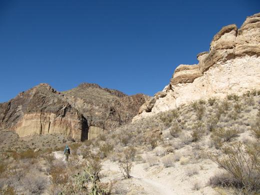
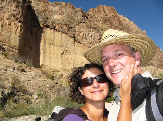
Big Bend is named after a large bend in the Rio Grande River. The park has most every feature of the southwest country side….mountains, deserts, canyons, valleys, plains, springs and one river. This park is south western beauty at its best…every hike and every drive has something new and amazing. Although it’s usually hot this time of year after the first day we hit a lucky streak of cooler 25C weather so we took advantage of it and hiked all the deserts and canyons we could.
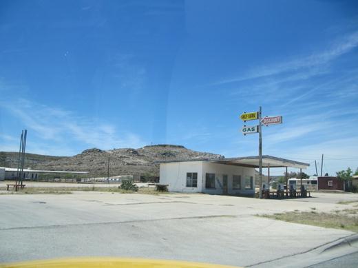
Before we get to Big Bend we gas up at the few gas stations we find on the deserted highway.
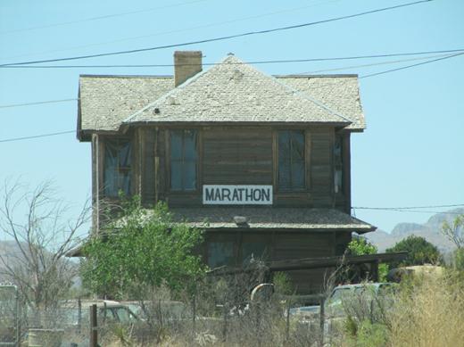
Marathon is the last stop west before we head 65 km south into Big Bend.
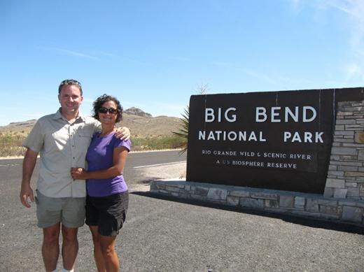
We finally arrive!!
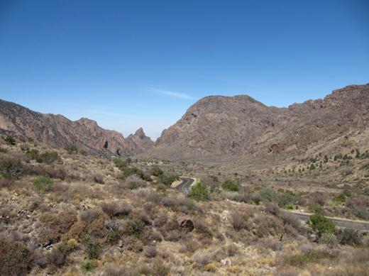
We camped at the Chisos Basin campground which is surrounded by mountains. Since it’s 2000 feet higher than the desert floor it is a bit cooler. No power or showers but the view every morning is amazing. The temperature at the other campground in the park (Rio Grande Village) was 40C!!!
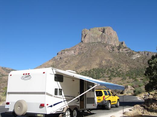
We setup camp under the watch eye of Casa Grande.
For the next few days we hike, hike and do some more hiking…
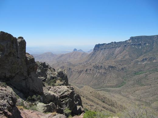
Lost mine trail hiking up into the Chisos mountains.
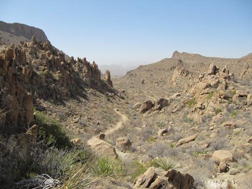
Searching for the famous balanced rock on Grapevine Hills trail…
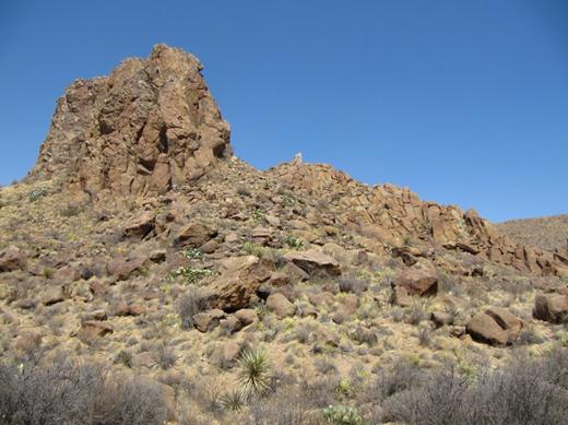
….some pretty amazing rock formations on the Grapevine Hills trail…
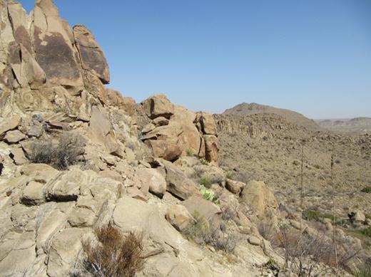
…the Grapevine Hills trail goes up and around and then over the rock formations higher and higher…
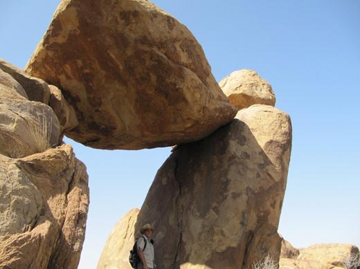
…The reward is a great view, although we can’t seem to find this “Balanced Rock” anywhere!!
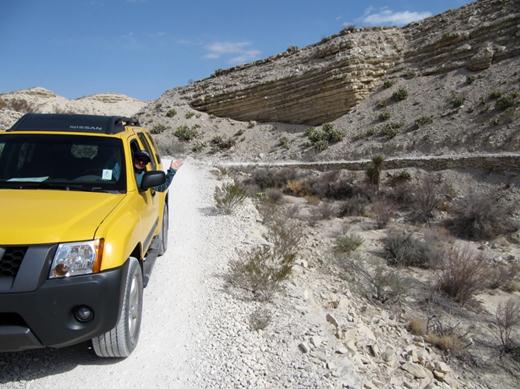
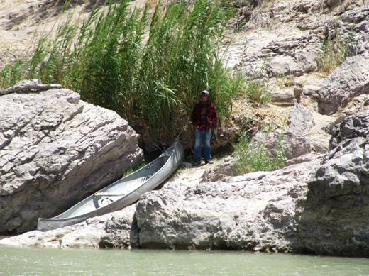
On our second day we take an off road trail to get to the ruins of a Hot Springs lodge on the Rio Grande.
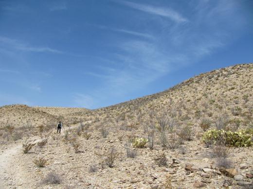
We hike along the Hot Springs trail across the hills to get to the springs overlook…
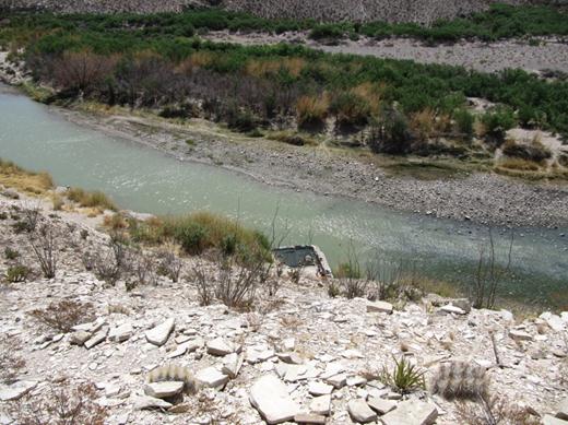
…that foundation looking thingy is the active hot springs – right on the Rio Grande. That thin looking shallow river is all that keeps Mexico and America apart…no wonder thousands of Mexican nationals enter the US each year…we didn’t know it was that easy. (Hot Springs trail)
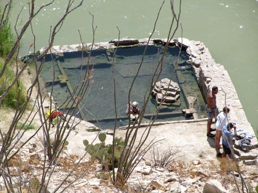
…there used to be a big old house around it but the poor sap who built it didn’t anticipate the power of the flood seasons. Up north we would jump at the chance to go into a hot springs but in the freakin’ desert we could not bring ourselves to jump into 40C water when it’s 30C out already. (Hot Springs trail)
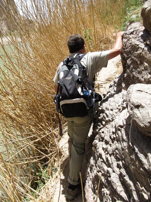
We hiked into the Boquillas Canyon….
…which is the east canyon of the park that the Rio Grande flows through.
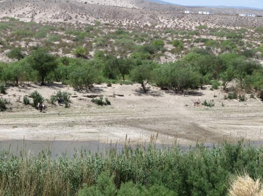
While hiking near the Rio Grande we noticed these Mexicans waiting on horseback – on the Mexican side of the river.
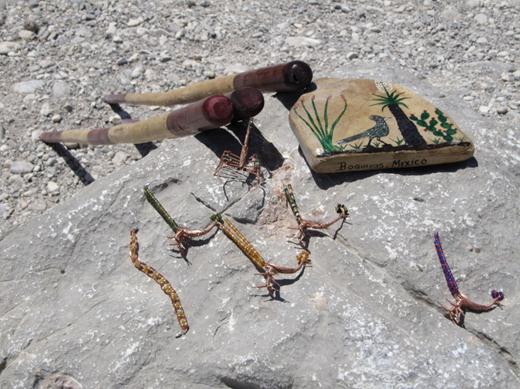
As we go on we see this merchandise just sitting by itself on rocks here and there along the trail.
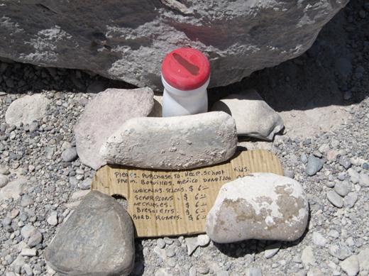
Each merchandise station has a homemade pay station with a price list and converted wet wipes container to receive the money! Mexicans found across the border can be charge, fined and put in jail so they come at great risk.
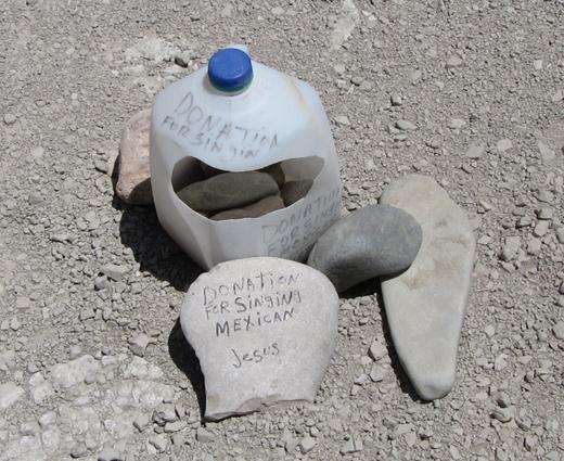
The strangest pay station we came across was this one. Says something about a singing Mexican!?
Just then we hear a faint sound coming from across the river….sure enough it’s a singing Mexican !!!
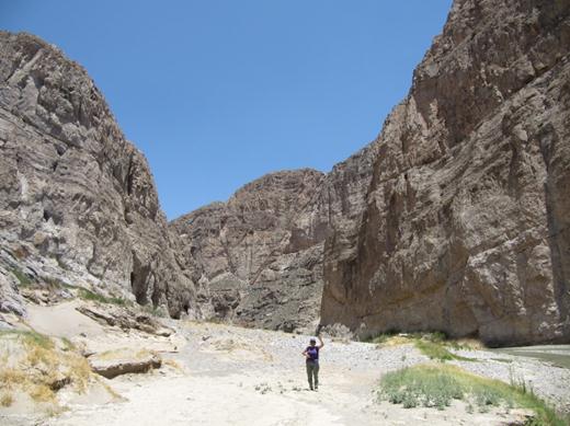
Later that day we hike the Lower Burro Mesa Falls trail in search of waterfall….
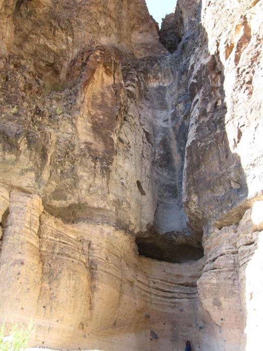
…ok, ok, the water fall is only active after it rains and it hasn’t rained here since September…
…but getting to this box canyon was very scenic.
Next up…Big Bend National Park, Part 2.
Posted by: wanderingenterprise
Categories: